|

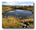
The main stem of the Pit River has been identified as an �impaired waterbody� under the Section 303d of the Federal Clean Water Act. Water quality parameters named in the 303d listing include temperature, nutrient loading, and low dissolved oxygen. Although not listed, sediment and turbidity are also suspected of being at unacceptable levels. The original listing was made based primarily on professional judgment, although observations of high temperature and low dissolved oxygen have been recorded. Causes of these conditions have not been conclusively demonstrated, although various natural and management related phenomena are suspected.
Today, the Pit River Watershed Alliance seeks to better understand the River, through collection of valid scientific data. Data collection is not underway to support or repudiate previous judgment. Instead, the Alliance seeks to find honest answers to perceived problems, so that our management of our watershed is improved for the benefit of all stakeholders.
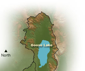
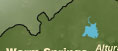
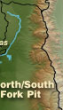
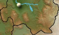
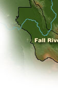
Clicking on the area of the map with dots will take you to a detailed area map with specific Water Quality locations.
Related Links;
|