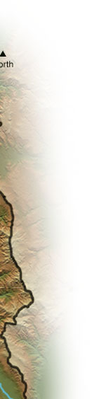
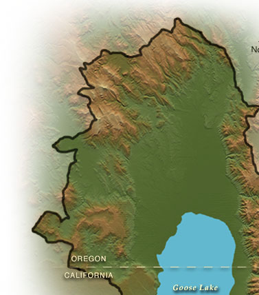
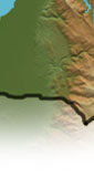
| Goose Lake is a large, shallow, alkaline lake on the California-Oregon border. During extreme water years the Goose Lake Basin overflows into the Pit River. Goose Lake has dried up completely in 1851, 1852, 1926, 1929-1934, and 1992. When the lake is full it has a maximum depth of 24 feet. The upper watershed of the Goose Lake Basin is dominated by Federal ownership, with much of the lower watershed dominated by private landownership and agricultural use.
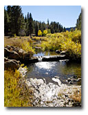
Your journey will continue by exploring any of the interactive 360 degree panorama views on the map.
To experience the exciting multimedia panoramas, video and audio-visual stories, you'll need the QuickTime player. Please see the Plug-In Information.
|